Gaining more insight into the condition of floors with state-of-the-art technologies
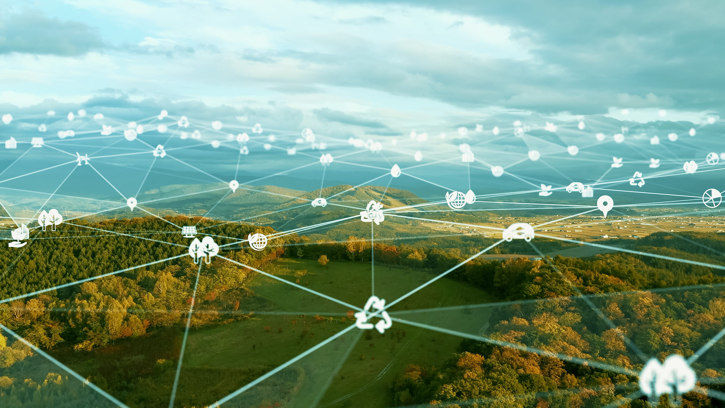
We use artificial intelligence to analyze satellite and drone data so that users in agriculture, research and administration can make better decisions: AWF Advanced Technologies develops tailor-made solutions for the respective application.
Make use of the data that can be obtained from aerial photographs. Important conclusions about agriculture, climate change and earth and water movements can be derived from these sources.
Get an overview of the extent of soil sealing and derive measures.
How healthy are the planted varieties, where is damage noticeable, where should you start first?
Which part of the fields is affected? How do organic and conventional fungicides work?
How does climate change affect the soil? Where are the hotspots for landslides and climate damage?
There are numerous applications for the evaluation of drone and satellite data, e.g. water shortages, spatial planning, agriculture and protection against floods.