Huge potential for the responsible use of ecological resources
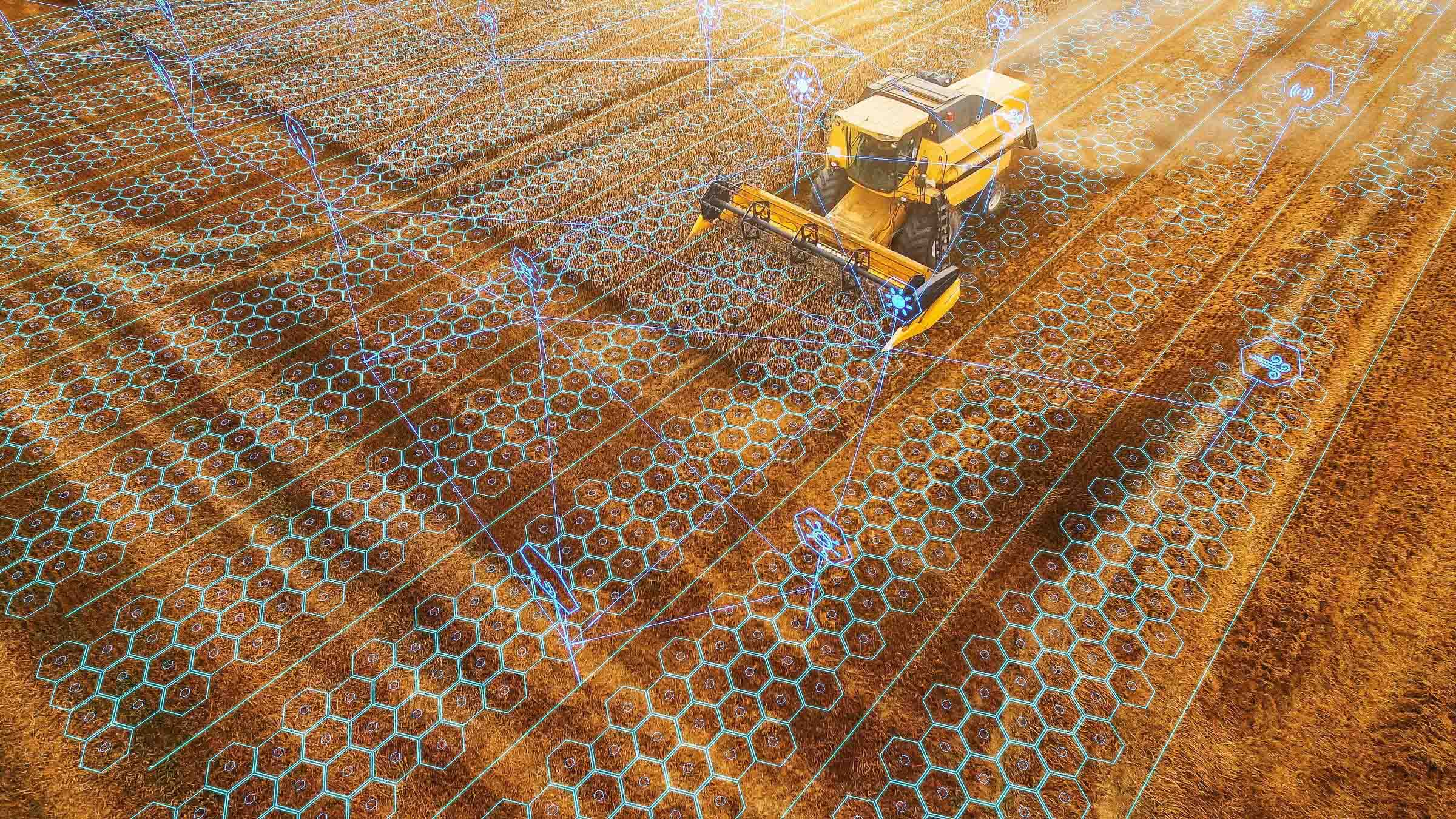
Digital agriculture
Secure foundations for setting a sustainable course and the careful use of natural resources.
Simple and fast
Simple and fastDirectly supports decisions aimed at the sustainable and careful use of resources.
Visualization
Soil and plant data become visually available.
Make the right decision
Supported by data and images, better decisions can be made.
Fast comparison
Supported by AI, comparisons can be made quickly that were previously not possible or not possible in this form.
Precise fertilization
Fertilizers not only cost money, they also need to be used in the right quantities and at the right time – our technology helps with this.
Combine correctly
Some information is contained in satellite images, others in images from drones or other aerial images – our technology combines the various sources of information and calculates the energy content of biomass. In this way, green areas (e.g. alpine pastures) can be better managed.
Precision Farming
Precisely calculate and document yield potential maps, vegetation indices and biomass.
A healthy forest
Present the consequences of climate change in an understandable way and derive measures.
Documenting climate change
Our tools document climate change and show changes and damage to forests.
Store C02
Our data allows us to draw conclusions about how much CO2 a soil can store.
Coloring information
Color analysis of biomass opens up new areas of application across the entire field of agriculture and forestry. Changes in vegetation and possible adverse effects caused by environmental influences can be detected at an early stage. And, of course, the success of initiated measures can also be derived from this.